
When to Thru-Hike the OTTime it right, hike it better
Planning & Preparation
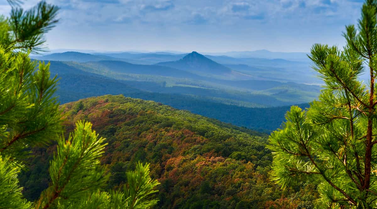

The Ouachita Trail traverses the Ouachita Mountains from Oklahoma through Arkansas, offering 223 miles of solitude and wilderness hiking. The trail runs primarily along ridgelines and crests , providing excellent views while avoiding most roads and towns. The first 192 miles lie within Ouachita National Forest, with the final 31 miles crossing timber company and…
This website uses affiliate links which may earn a commission at no additional cost to you. As an Amazon Associate I earn from qualifying purchases.
Quick Trail Facts
Difficulty: Intermediate
Distance: 223 mi
Elevation Gain: 34,000 ft
Talimena State Park, OK – Pinnacle Mountain State Park, AR
Average Time: 10-15 Days
Permit Required?: false
The Ouachita Trail traverses the Ouachita Mountains from Oklahoma through Arkansas, offering 223 miles of solitude and wilderness hiking. The trail runs primarily along ridgelines and crests, providing excellent views while avoiding most roads and towns. The first 192 miles lie within Ouachita National Forest, with the final 31 miles crossing timber company and water authority lands before reaching Pinnacle Mountain State Park.
This is a trail for those seeking true wilderness experience with minimal crowds. Water planning is critical, as sources can be scarce, especially during dry seasons. The trail passes through two designated wilderness areas: Upper Kiamichi River Wilderness (Oklahoma) and Flatside Wilderness (Arkansas).
Miles 0-51 | 51 miles
The trail begins at Talimena State Park at the Oklahoma-Arkansas border and immediately climbs through the Upper Kiamichi River Wilderness. This section follows the scenic Talimena Scenic Drive for portions, offering road access at multiple points.
Key Features:
Shelters:
Water: Generally reliable in springs and creeks, but seasonal. Check current conditions.
Resupply Options:
Miles 51-68 | 17 miles
A shorter section descending from Rich Mountain toward the Arkansas interior. The trail crosses US Highway 71 near Mena, Arkansas.
Key Features:
Shelters:
Water: Creek crossings and springs, but check seasonal reliability
Resupply Options:
Miles 68-122 | 54 miles
This is the heart of the trail, passing through deep forests and offering some of the most remote hiking. The section ends at the legendary Bluebell Cafe – a thruhiker highlight and the primary mid-trail resupply point.
Key Features:
Shelters:
Water: Springs and creek crossings throughout, but spacing varies. Plan water carries carefully.
Resupply Options:
Miles 122-172 | 50 miles
Continuing east through the Flatside Wilderness Area, this section features some of the rockiest and most technical terrain on the trail. The Flatside Wilderness (approximately miles 155-165) offers spectacular views but challenging footing.
Key Features:
Shelters:
Water: Generally reliable creeks, but Flatside Wilderness section may be dry in summer/fall
Resupply Options:
Miles 172-223 | 51 miles
The final section leaves Ouachita National Forest and crosses through timber company lands and Central Arkansas Water property. The trail becomes noticeably different – still beautiful but more managed. The last 30 miles are outside national forest land.
Key Features:
Shelters:
Water: Generally reliable near Lake Maumelle and in State Park areas
Resupply Options:
Important Note: The eastern 30 miles have very restricted camping. Penney Campsite at mile 208 is the only legal camping spot between Lake Sylvia and the eastern terminus. Plan your final days carefully to reach Penney Campsite or complete the final section in one push.
The Ouachita Trail requires careful resupply planning due to limited town access. Most thruhikers use these options:
The Ouachita Trail has approximately 20 shelters spaced 8-12 miles apart. The shelters are three-sided, Adirondack-style structures with sleeping platforms. They’re well-maintained, clean, and rarely crowded.
Shelter Amenities:
Note: Shelters are first-come, first-served. Carry a tent or tarp as backup, especially during peak season.
Water is the biggest challenge on the Ouachita Trail. The trail has long dry stretches, especially in summer and fall.
Water Planning Tips:
Seasonal Considerations:
Longest Dry Stretches:
Nearest Airport: Fort Smith, Arkansas (1 hour drive)
Nearest Airport: Little Rock, Arkansas (30 minutes drive)
Multiple shuttle services operate along the trail. Check the Friends of the Ouachita Trail website for current shuttle operators and contact information.
Navigation: The trail is well-blazed with blue markers and has mile markers at every mile. Navigation is straightforward with a map or GPS app.
Permits: No permits required for hiking or camping in the national forest.
Best Direction: Most hikers go west to east (Oklahoma to Arkansas), which is how guidebooks and mile markers are oriented.
Wildlife: Black bears, deer, turkey, and eagles are common. Venomous snakes (rattlesnakes, copperheads, cottonmouths) present during warmer months.
Bugs: Ticks, chiggers, and mosquitoes can be intense. Treat clothing with permethrin and carry bug spray.
Cell Service: Extremely limited throughout most of the trail. Plan accordingly for communication.
Hazards:
Typical Completion Time: 10-15 days
Daily Mileage: 15-20 miles (terrain dependent)
Elevation Gain/Loss: ~34,000 feet each
Shelters: ~20 shelters, 8-12 miles apart
Water Difficulty: High – planning essential
Resupply Options: Limited – 2-3 points for 223 miles
Solitude Level: High – light trail usage
Navigation Difficulty: Easy – well-marked
Physical Difficulty: Moderate to Strenuous
The Ouachita Trail offers a genuine wilderness experience with minimal crowds and beautiful ridgeline hiking. Success requires careful planning around water sources and resupply points, but rewards hikers with solitude and stunning mountain scenery.
Planning & Preparation