Goodwater Loop | Loop the lake. Earn the dam.
The Goodwater Loop circles Lake Georgetown on 26.5 miles of limestone trail through juniper forest, open prairie, and river bottomland… making it the best beginner backpacking loop in Texas. Start in Georgetown, finish on top of a dam.
Quick Trail Facts
Difficulty: Easy
Distance: 26.9 mi
Elevation Gain: 1,486 ft
Cedar Breaks Recreation Area – Cedar Breaks Recreation Area
Average Time: 3 Days
Permit Required?: false
The Goodwater Loop circles Lake Georgetown on 26.5 miles of limestone trail through juniper forest, open prairie, and river bottomland… making it the best beginner backpacking loop in Texas. Start in Georgetown, finish on top of a dam.
Section 1 · Cedar Breaks → Sawyer Camp (~7 miles | Mile 0–7)
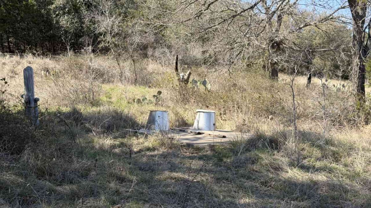
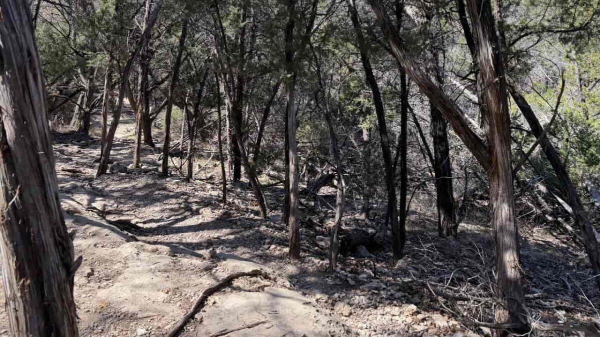
The trail begins at Cedar Breaks Park (the most popular starting point) and immediately turns rough. Expect the most technical terrain of the entire loop here – jagged “cheese grater” limestone, cedar forest, and lake bluffs.
You’ll pass a historic homestead site and Crockett Garden Springs, a lush spring-fed area surrounded by ferns. The trail then continues to Sawyer Camp, a primitive site right on the lake – a natural Day 1 destination.
- 💧 Water: Lake access at Sawyer (filter required)
- ⛺ Camp: Sawyer (primitive, first-come)
- ⚠️ Rocky terrain throughout – ankle support essential
- 🏛️ Historic homestead and Crockett Garden Springs
Section 2 · Sawyer Camp → Tejas Park (~4 miles | Mile 7–11)
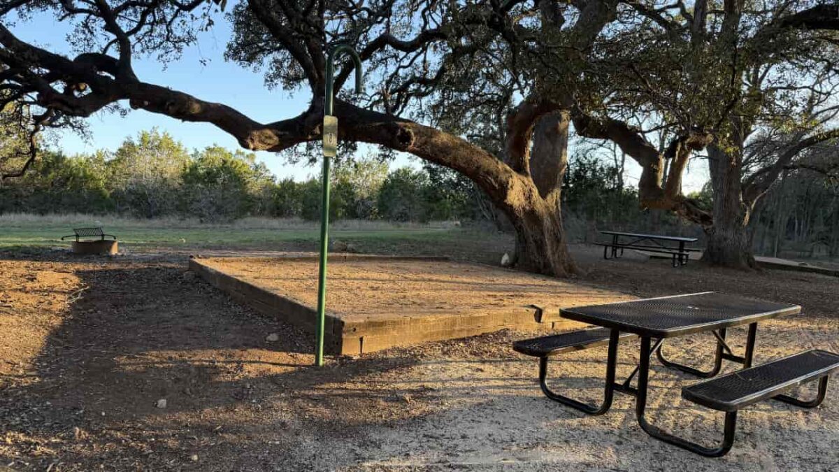
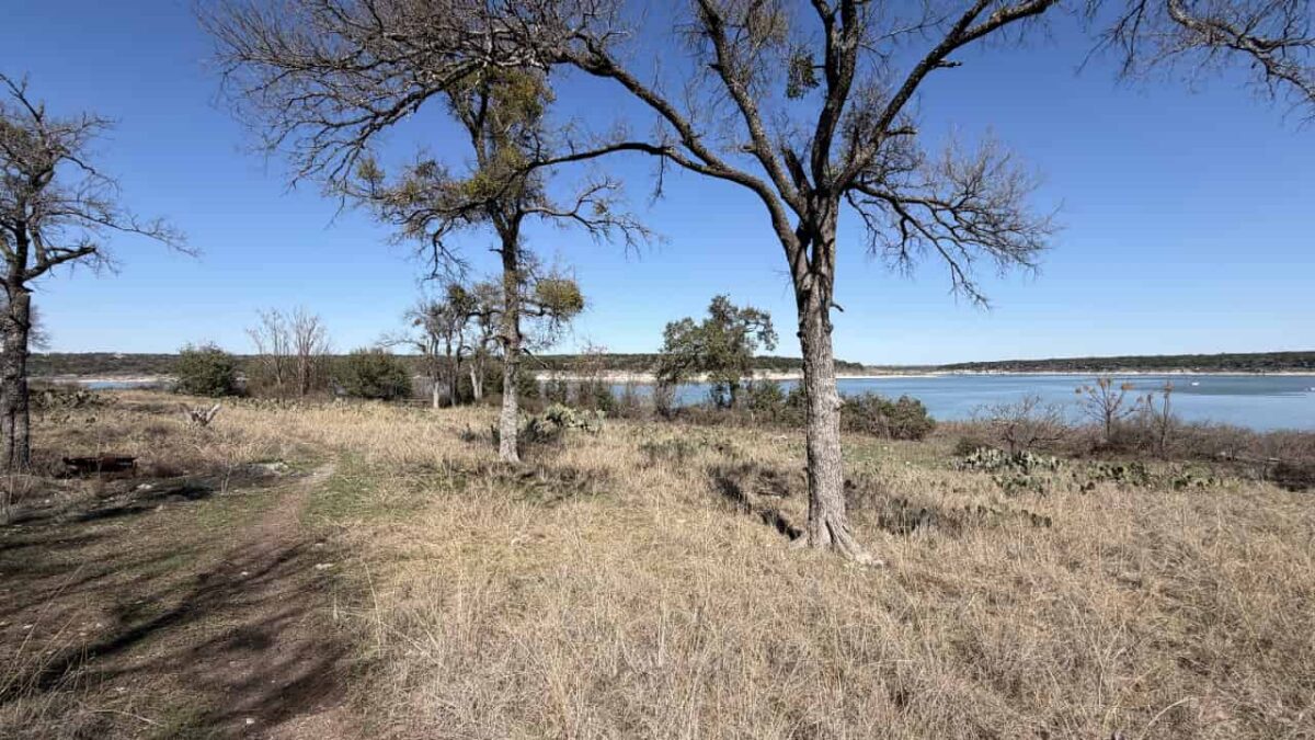
After Sawyer the terrain opens up into open prairie with wide lake views. Near mile 8 you’ll cross a small cold stream – a good water fill-up spot. The trail climbs briefly past a limestone cliff section before dropping back to prairie.
Around mile 10.5 there is an unsigned trail split – stay right then immediately left to reach the Tejas Park trailhead correctly. Tejas Park (~mile 11) offers potable water, restrooms, and a shaded campground and is a key resupply point on the loop.
- 💧 Water: Potable tap at Tejas Park
- ⛺ Camp: Tejas Park (developed, reservations recommended)
- ⚠️ Navigation attention needed at mile 10.5 – unsigned split, stay right then immediately left
- 🌾 Wide prairie views and lake vistas
Section 3 · Tejas Park → Russell Park (~6 miles | Mile 11–17)
The trail crosses the North Fork San Gabriel River on the CR 258 bridge (Hunt Crossing) then follows the north bank of the river. This section is flatter but can feel monotonous – four miles along the northern perimeter before terrain picks up again.
Near Walnut Springs Camp (~mile 15.5, primitive) the trail climbs back into limestone and cedar. You’ll reach Russell Park (~mile 17) where potable water and restrooms are available via a short detour off-trail into the park.
- 💧 Water: Potable at Russell Park (short detour off trail)
- ⛺ Camp: Walnut Springs (primitive), Russell Park (developed)
- 🌉 River crossing via bridge at Hunt Crossing
- 📍 Flatter north shore – less dramatic but easier miles
Section 4 · Russell Park → Jim Hogg Park (~4.5 miles | Mile 17–21.5)
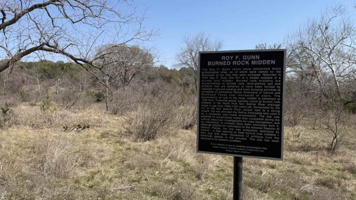
The trail continues through mixed terrain – old rock walls, a burned midden site, and a scenic stone wall switchback. Trail markers become sparse and confusing around mile 20 – pay close attention here. The trail enters Jim Hogg Park right by the gate. Potable water is available here but requires a longer detour into the park. Cedar Hollow Camp (primitive) sits approximately 4–5 miles before Jim Hogg for those who prefer a shorter final day.
- 💧 Water: Jim Hogg Park (longer detour into park)
- ⛺ Camp: Cedar Hollow (primitive), Jim Hogg Park (developed)
- ⚠️ Poor signage miles 20–23 – download offline map before you go
- 🪨 Historic middens and stone wall features
Section 5 · Jim Hogg Park → Cedar Breaks via Dam (~5 miles | Mile 21.5–26.5)
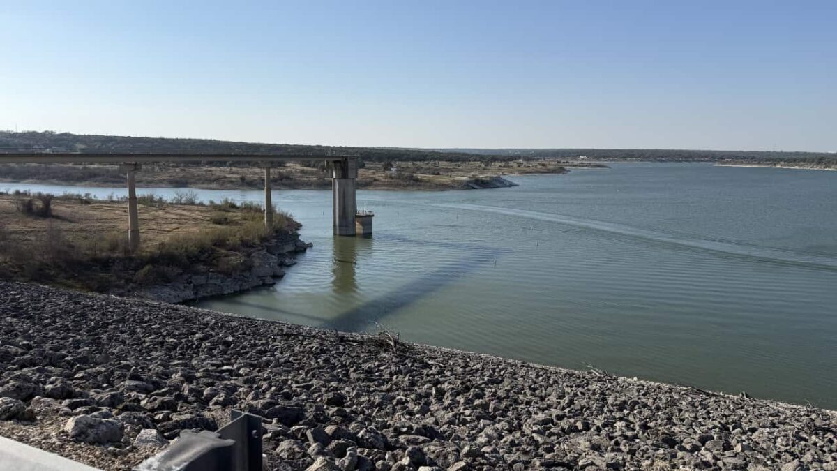
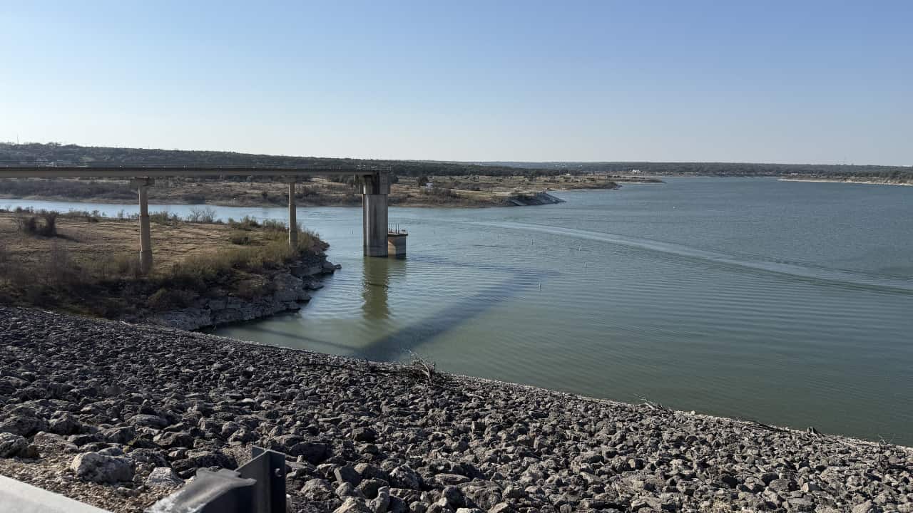
The final section runs singletrack to Overlook Park, where a water faucet is available near the restrooms. The trail then transitions to a closed paved road across the top of the North San Gabriel Dam – a dramatic finish with sweeping lake views. The road leads directly back to Cedar Breaks Park. The last two miles on gravel and pavement are the easiest of the loop and a welcome relief on tired feet.
- 💧 Water: Overlook Park restrooms (~mile 25)
- 🌊 Dam crossing with panoramic lake views
- ✅ Final 2 miles on pavement – easiest terrain of the loop
Camping Overview
Primitive Sites (Free)
Cedar Hollow, Sawyer, Walnut Springs – walk-up, first-come, first-served. Basic fire rings and picnic tables at most sites. Open-air privies at some. No potable water – plan your carries accordingly.
Developed Parks (Fee)
Cedar Breaks, Tejas, Russell, Jim Hogg – Army Corps-operated with restrooms and potable water. Reservations recommended, especially on spring and fall weekends. Entry pass required at Cedar Breaks, Jim Hogg, and Russell.
⚠️ Stealth camping is prohibited. You must camp at a designated site only – primitive or developed. No camping off-trail or in undeveloped areas along the loop.
Water Sources
💧 Potable water locations (clockwise): Cedar Breaks (mile 0, spigot at gate) · Tejas Park (mile 11) · Russell Park (mile 17, short detour) · Jim Hogg Park (mile 21.5, longer detour) · Overlook Park (mile 25).
Carry at least 2–4L between sources. In summer, the stretch from mile 1 to Tejas Park (~10 miles) can be the driest. A water filter is strongly recommended – lake water is accessible in some spots but gas powered boats and also murky so you should always filter.
Town & Resupply
Georgetown, TX – Your Base
The trailhead parks are located 3–10 miles from downtown Georgetown, which has everything you need: grocery stores (H-E-B), restaurants, gas stations, and lodging. There is no resupply on trail – bring all food from town before you start. Austin is 35 miles south via I-35 for additional gear shops and food options. Georgetown’s historic downtown square is a nice pre- or post-hike stop.
Key Planning Notes
Season Matters
October through April is the recommended window. Summer highs regularly exceed 95°F and several trail sections are fully exposed. Rattlesnakes are active at night in warmer months – use a headlamp and watch the trail carefully.
Navigation
Download an offline map before you leave – AllTrails and onX both work well. Trail signage is poor in multiple sections, especially at the mile 10.5 split and miles 20–23. It is easy to miss turns without a map in hand.
Beginner 3-Day Itinerary (Clockwise from Cedar Breaks)
- Day 1 – Cedar Breaks → Sawyer Camp (~7 mi)
- Day 2 – Sawyer Camp → Russell Park (~10 mi, water refill at Tejas Park)
- Day 3 – Russell Park → Cedar Breaks via dam (~9.5 mi)
To shorten the final day, stop at Walnut Springs on Day 2 instead of pushing to Russell Park.